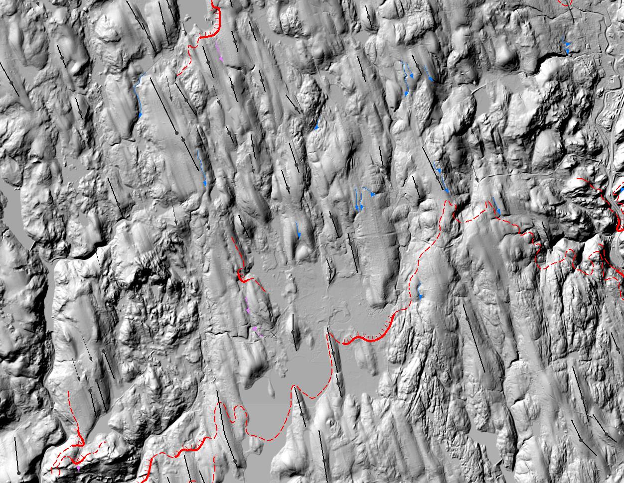
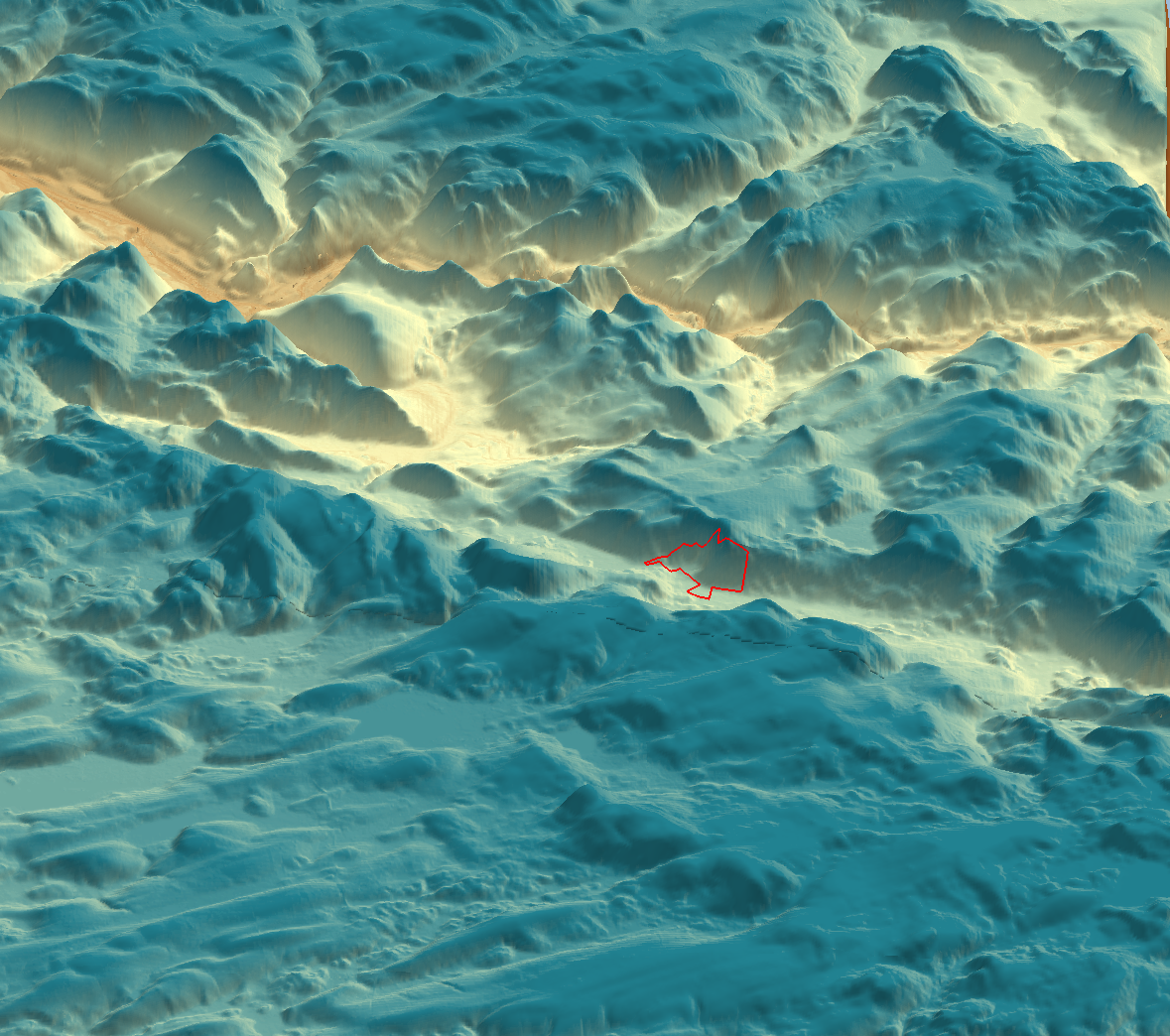
Remote sensing is an important component when exploring a new landscape for preservation. Here, I generated a quick 3D terrain output as part of the ecological study of a new 500-acre forever-wild preserve in New Hampshire. This product was used to look at watershed boundaries, drainage, and solar aspect as well as to plan out the field work.


