
")
The following are items that I keep in my kit for fieldwork in New England. They are a mix of new and old technologies that I’ve found consistently work for me after over 20 years of professional land trust work and 40+ years of backcountry experience. Most of the items are kept in a plastic bin and I pick from the collection based on the mission, size, and location of the project.
- iPhone with Motion-X GPS, Gaia GPS, and Track Kit apps.
- Garmin GLO, a Bluetooth-enabled GPS/GLONASS satellite receiver for cell phones (US and Russian GPS sats).
- Anker PowerCore+ Mini USB Charger, 3350mAh, pocket-sized.
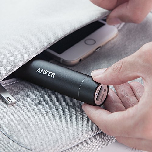
Anker PowerCore+, $14 at Amazon. - Nikon pocket binocular.
- BelOMO 10x triplet loupe folding magnifier.
- Baofeng UV5RA Ham/FRS Two-Way Radio 136-174/400-480MHz w/NOAA weather frequency (pair).
- Nikon D200 DSLR with USB cable, extra battery, and SD cards.
- Sony RX100 Mark V pocket camera (including HD, 4K video).
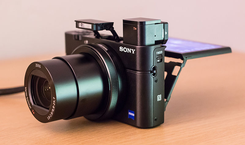
Sony RX100 V pocket camera. Seriously, it fits in your pocket. 20MP, 4K video, superb intelligence. - Mobius pocket/keychain camera w/1080p video.
- FLIR infrared camera attachment for iPhone.
- Kestrel 4500 pocket weather station.
- DJI Inspire, Mavic drones and various RC airplanes for imaging and mapping.
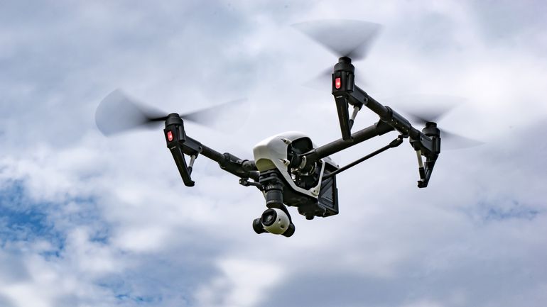
DJI Inspire 1 V2 with X3 camera. Outstanding engineering and flight control, perfect for land trust work. - EDC (EveryDayCarry) keychain w/knife, pen, tweezers, multi-tool, flashlight, tritium light, more.
- Pocket compass/inclinometer.
- 100LF tape measure.
- Tree diameter tape.
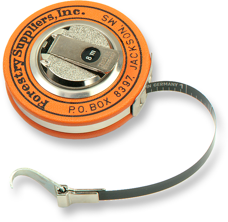
Diameter tape for tree measurements. My FS tape is over 20 years old and works as good as new. - Bushnell Scout laser rangefinder.
- Sharpies, pens, pencils, and a paint stick.
- Zip Lock bags.
- Wire plant tags.
- Surveyor’s ribbon, both plastic and biodegradable.
- Rite In The Rain pocket notebook and pencil.
- Aluminum field clipboard w/storage.
- Tree coring tool and plastic straws for core storage.
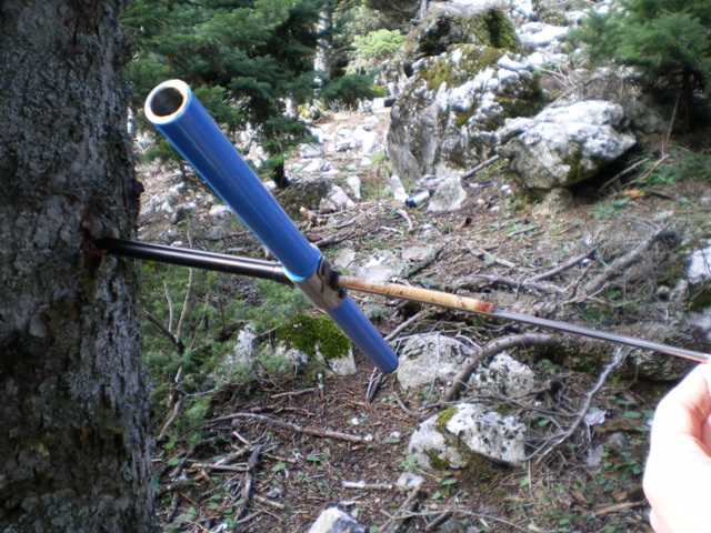
Increment borer. - Various small laminated cards for plant and soils taxonomy and wildlife sign identification.
- Adventure Medical pocket first aid kit.
- Eyeglasses for old eyes.
- Various backpacks, fanny packs, etc.
Software tools that I regularly use in my work:
- ArcGIS 10.4 cartography with Spatial Analyst and 3D Analyst.
- TopoFusion for merging GPS data with photographs.
- Google Earth Pro.
- Sandy Knoll Software’s Metes and Bounds Pro for deed to cartographic conversion.
- DNR-GPS for GIS/GPS/KML file and projection conversions.
- APM Mission Planner, DroneDeploy, DJI GO, and Litchi drone controller apps.
- Caleb Pourchot’s Landscape Land Conservation software.
- Dropbox Pro cloud storage.
- Egnyte cloud storage.
- Adobe Lightroom, Cerious ThumbsPlus.
Published August 6, 2017


